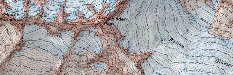
AutoTopo allows you to display USGS topographical maps on your site with simple shortcode that is placed in page or post.
You need to know the latitude and longitude of the area that you want to display.
With that information, simply input the lat, long into the autotopo shortcode and you're good to go..
AutoTopo uses MSRMaps, technology developed my Microsoft Research and made free to the public..
AutoTopo is software you can redistribute it and or modify it under the terms of GNU General Public License as published by Free Software Foundation, either 3 of the License, or any later version..
AutoTopo is distributed in the hope that it will be useful, but WITHOUT ANY WARRANTY without even the implied warranty of MERCHANTABILITY or FITNESS FOR A PARTICULAR PURPOSE.
See GNU General Public License for more details..
See the license at http www gnu org licenses...
Read more
Related items: